How it works
A simple idea: find out what fish are in the water near shore, combine it with what we know about the ocean, and put the results in your pocket.
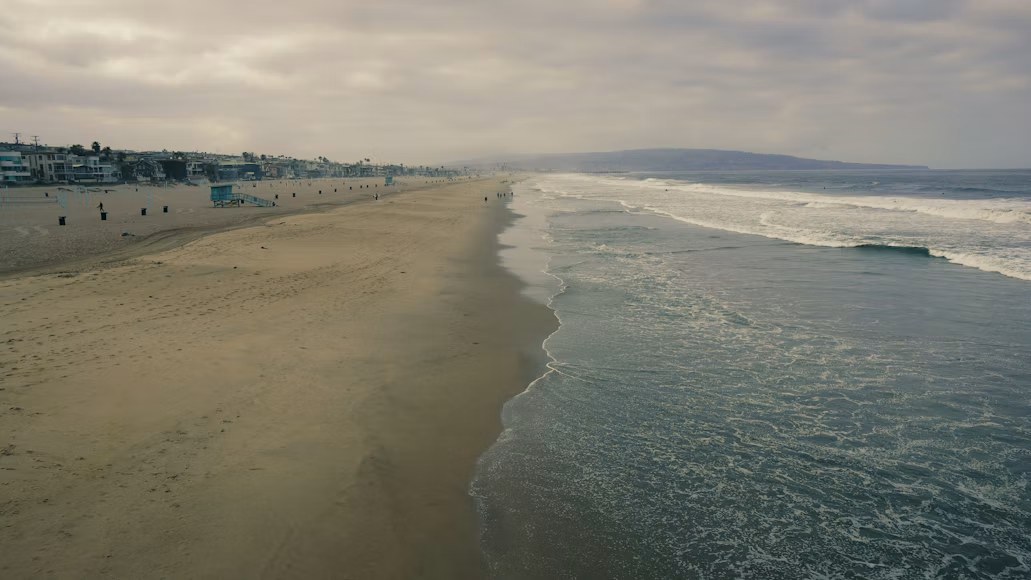
It detects fish
Our technology is designed to find fish within 10 miles of shoreline and identify the species and how many there are.
It adds context
Water temperature, depth, bottom habitat, and NOAA maps help narrow down which species are likely where, and make the estimates more useful.
You see it in the app
Open the app before you head out and see which species are likely nearby, and roughly how many. Pick your starting spot with information instead of a hunch.
Early, and honest about it.
Deep Ping Fishing is in the idea and validation stage. Our first step is a small pilot at a popular pier, with a free app, to see whether people find it useful.
There are real engineering questions we're working through, and we'd rather say so than oversell.
What we're still proving
- How reliable the readings are in real conditions
- How long the equipment lasts in salt water
- How it holds up in rough weather, including hurricanes
- Where the economics work and what people will pay
Where this is going.
Now: pier pilot
Set up a small battery-powered pilot near a popular pier, share a free app with anglers, and ask what they'd want.
Next: connected coverage
Grow coverage in busy fishing areas from a single spot to a whole stretch of coast, and add charter captains.
Later: commercial fleets
Offer the same live picture to larger operations that burn the most fuel searching.
Always: less waste
Fewer wasted miles means less fuel burned for the same catch, which is better for budgets and for the water.
Want to be part of the pilot?
Tell us where you fish. Early feedback decides what we build and where we start.
Take the 5-minute survey